PeteD wrote: ↑Sat Apr 23, 2022 11:50 pmMilo wrote: ↑Fri Apr 22, 2022 11:53 pmI'll also note that climate has knock-on effects on numerous other things, and so is relevant to many other types of maps as well.
Perhaps I don't have a good imagination, but the only ones that I can think of are vegetation (or lack thereof) and surface ice/snow (or lack thereof).
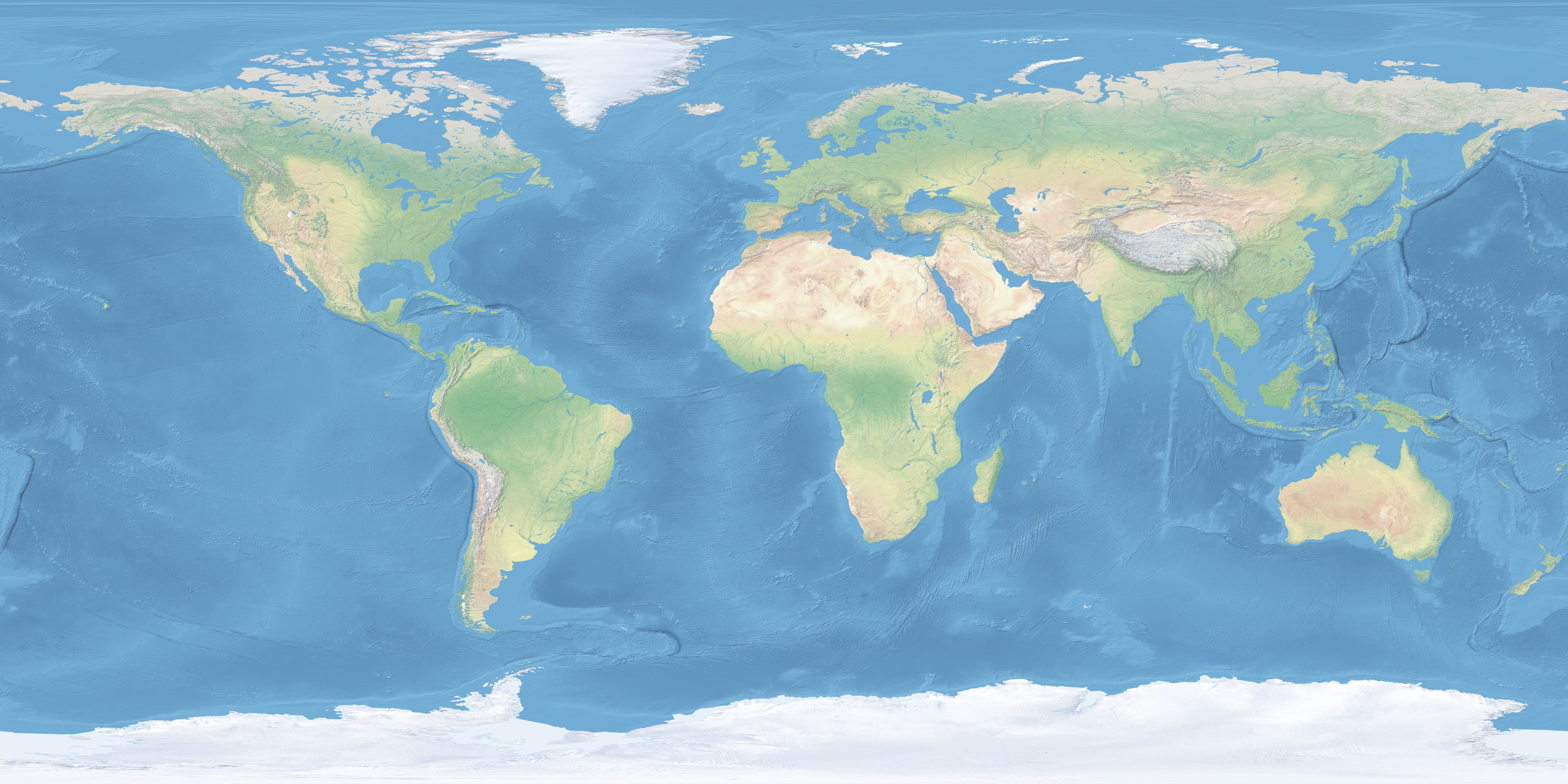
Well, that's a pretty big one. 99% of the source maps used to demonstrate map projections on this forum or on Daan or Atarimaster's websites are more-or-less natural-color maps (except that they like to recolor the oceans for some reason), where the most notable colors are forest-green, desert-yellow, and glacier-white (and whatever shade of blue gets used for the oceans, and a bit of red in the Australian desert specifically).
Of course, climate is complicated and there are numerous other factors that affect it (and therefore biome), but latitude is a dominant enough one that even when places have a climate different from expected for their latitude, this is important information that should prompt you to ask why, so it's good if the discrepancy is easily visible.
Climate in turn affects not only plant but also animal migration. Consider how many cold-adapted animals have "holarctic" distributions, found across both Eurasia and North America, while their tropical faunas are more separate - largely because the only easy way to travel between the two is across Beringia. Unless you're a bird, in which case crossing the ocean is a lot easier, and parrots, for example,
do have a pantropical distribution. Relatively closeby islands like Hokkaido and Honshu can have very different faunas if they're orientated north-south to each other, whereas their faunas are more similar to the mainland Asian environment at the same latitude despite the sea separating them. Marine animals, of course, also care quite a bit how warm the waters are.
Climate also historically affected
human migrations. Consider how the Silk Road allowed trade all the way between China and Europe even in medieval times, whereas the Incas and the Aztecs weren't even aware of each other's existence. Or how the Arabs, long used to living in deserts, were able to spread Islam and the Arabic language across the Sahara all the way to Morocco, yet never penetrated far into sub-Saharan Africa. This affects political and cultural affiliations to this day, as well as (you mentioned this one) the spread of technology.
Prevailing winds, another consequence of climate, were extremely important to navigation in the Age of Sail, and although less important nowadays that we have more powerful engines capable of pushing against the wind, modern airliners still make use of them to minimize fuel expenditure.
Latitude is also the easiest coordinate to measure using traditional celestial navigation techniques (for largely the same reason that it affects climate so much: the sun's at a different angle), though that's less relevant now that we have GPS.
When it comes down to it, latitude has at least
some bearing on nearly everything. Longitude is much less important, with the main benefit of cylindrical projections being not so much that meridians are straight lines, but rather that all meridians are
the same, avoiding bias to certain parts of the world (at least in an east-west direction). Just about the one thing that longitude does matter for is... well, see below

Really, the atmosphere and weather are the reason why our planet even
has life to begin with. You can't ignore it.
There are exceptions, of course. Tectonic plates don't care one bit what the sun is doing, so having straight parallels may be less relevant to geological maps. Then again, there are other geological phenomena, such as soil erosion, that do depend on the climate.
And while latitude may not tell you where the mountain ranges are, latitude
plus knowing where the mountain ranges are tells you where the rainshadows are.
PeteD wrote: ↑Sat Apr 23, 2022 11:50 pmTime zones? Not really.
Nope, although that's one of the applications for which having straight-line
meridians would be useful, and that mostly means using a cylindrical projection (which also has straight-line parallels) anyway.
Unless you really want to use the Craig retroazimuthal for some reason.