Geocart PixSlice™ Raster Reprojection Technology
Transform raster imagery from one map projection to another perfectly with Geocart’s PixSlice™ raster reprojection technology. See for yourself!
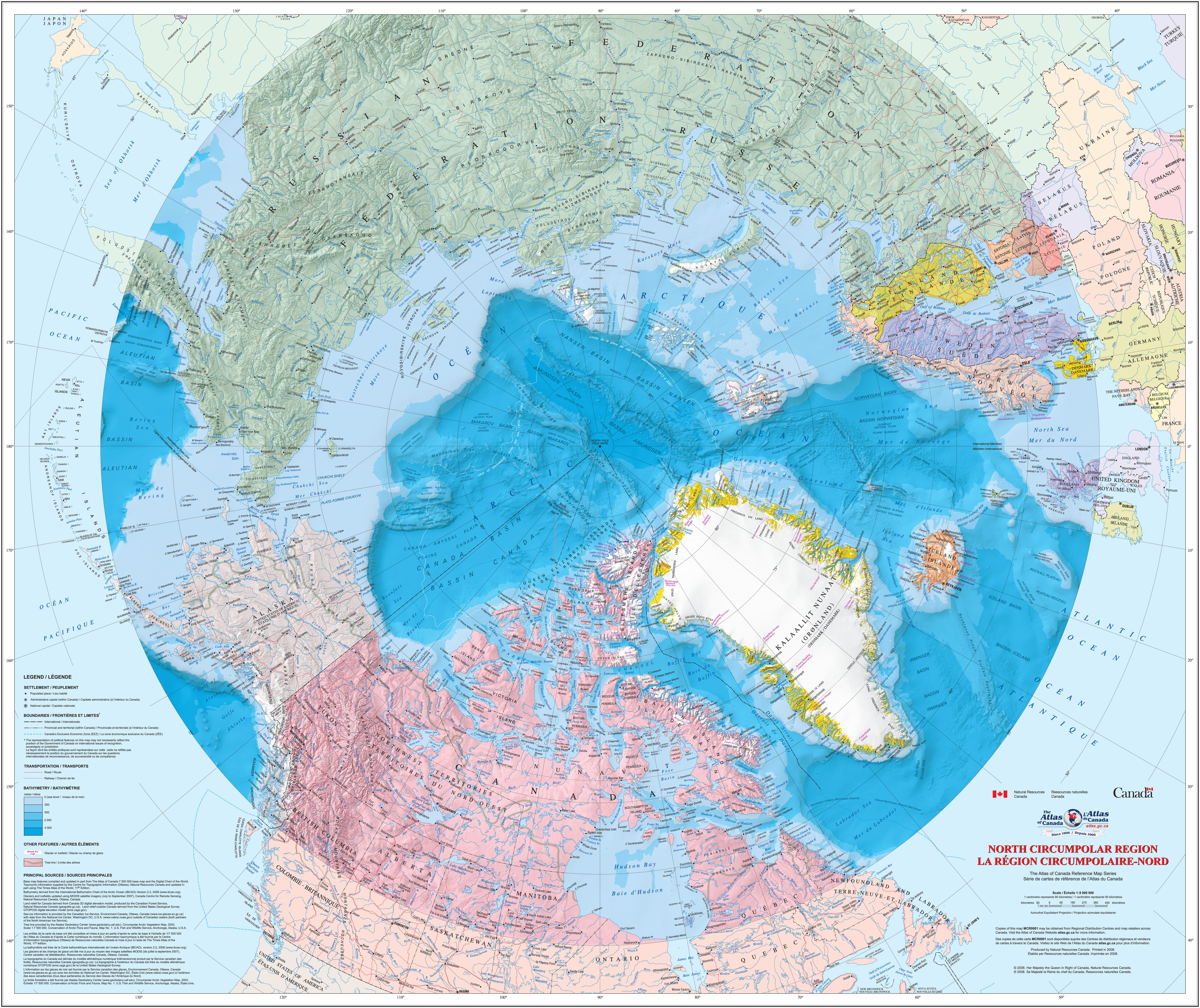
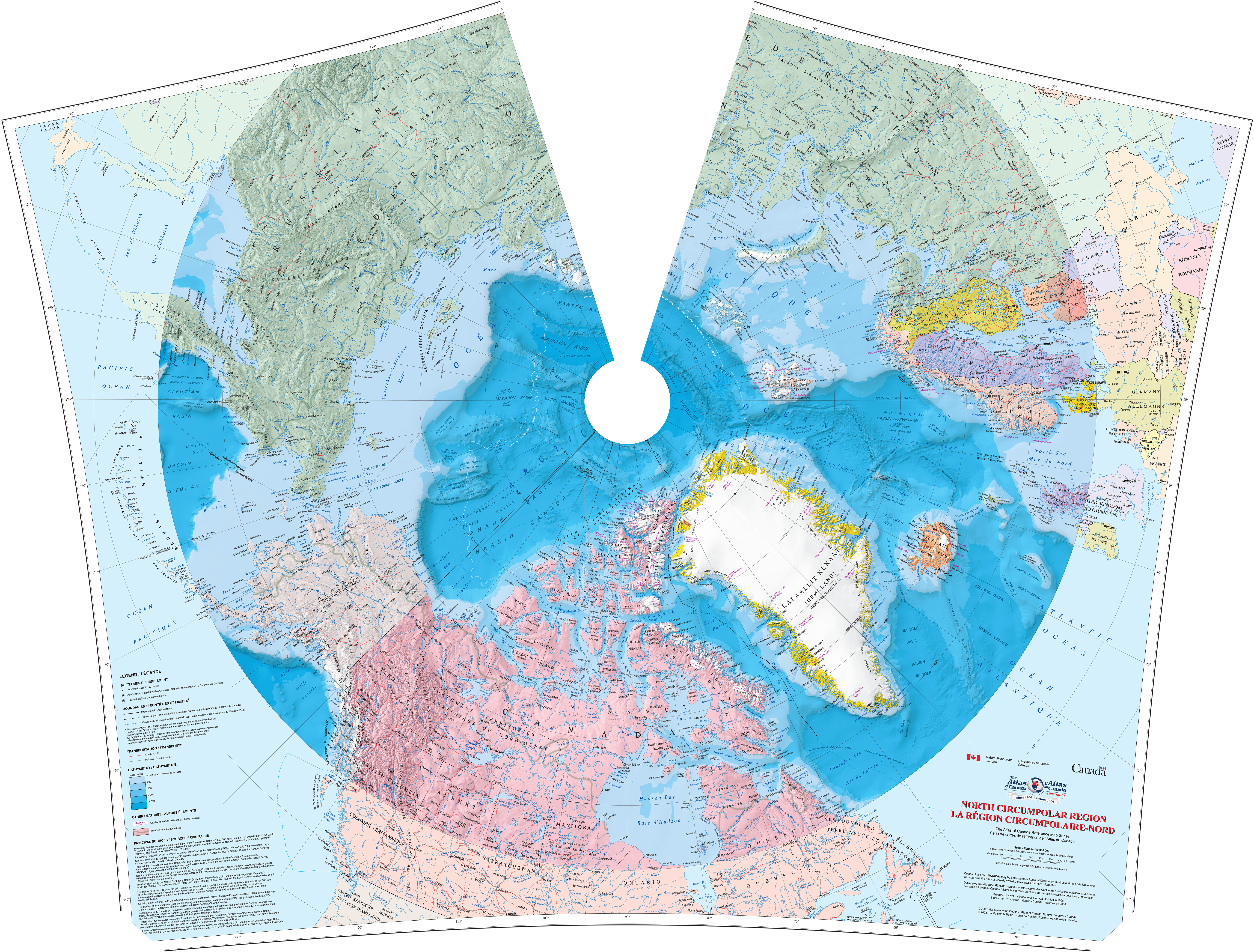
First, thumbnails of the before and after:
Original in equidistant projection | Reprojected map in Albers projection
|
|---|---|
|
|
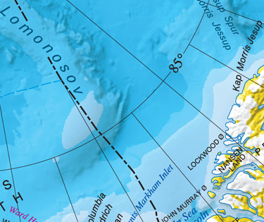
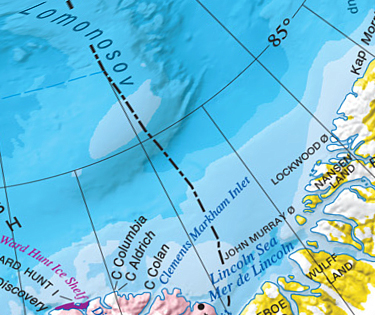
Below, see what each looks like in detail from the rectangle outlined in red above. These are the unmodified pixels from the original source and the unretouched pixels from Geocart. Notice that the original does not have any extra detail to work with, yet Geocart preserves all the original detail while turning an equidistant map into a crisp equal-area map! Other systems will reproject maps, but they cannot preserve detail this finely. The greater the difference between the source and target projections, the more Geocart’s superiority becomes obvious.
Pixels from original equidistant projection | Pixels from reprojected Albers projection
| |
|---|---|---|
| 
|
This excerpt was chosen to demonstrate the effects of reprojection in regions of both high and low distortion. See how “Lomonosov” in the upper left becomes twisted around in the Albers reprojection? That is close to the pole, where distortion on the Albers trends toward infinite. Yet notice how the text is still crisp, legible, unadulterated by pixelation, smearing, or other artifacts. The lower right, on the other hand, is relatively undistorted in both projections. Visit the FAQs for more information about PixSlice.